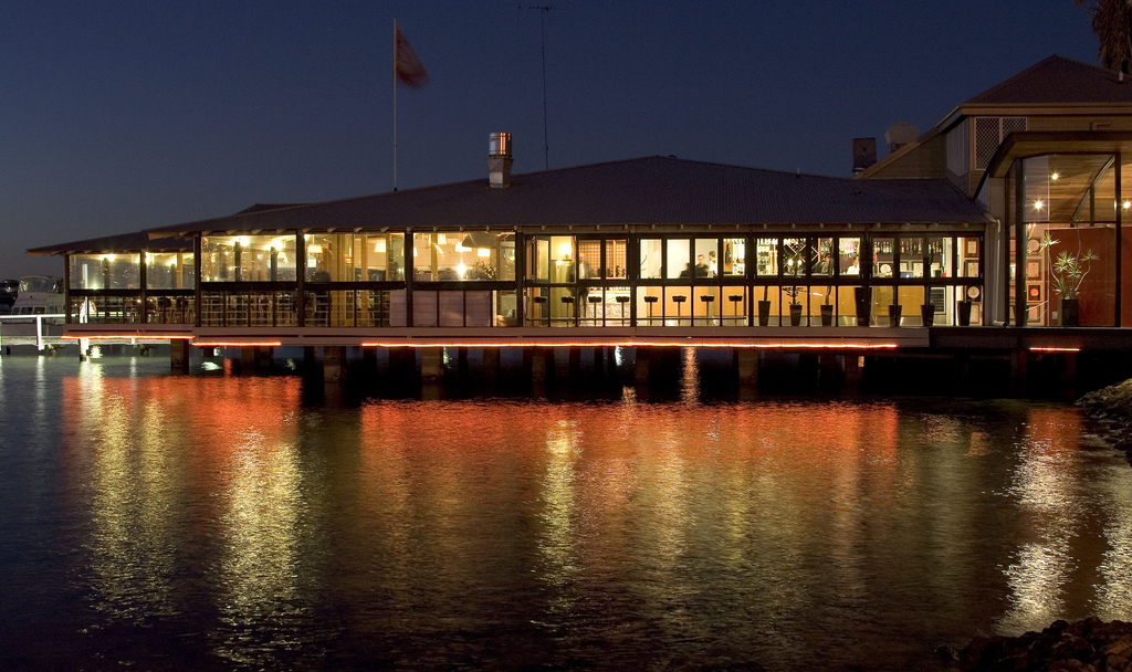
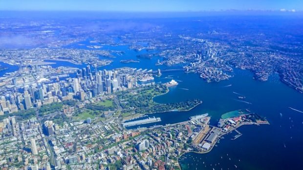
Sydney is one of the most iconic and cosmopolitan cities in the world, and it’s easy to understand why. From beautiful beaches and harbour strolls, to ferry crossings, restaurants, botanical gardens, and world-famous landmarks, there are countless things to see and do in the capital of New South Wales.
Sydney is also the largest city in Australia, and this growth has happened very quickly. In the 250 years since Captain Cook’s landing in New South Wales signalled the onset of British colonialism in Australia, the city has become home to a population of around 5 million people from various cultural backgrounds. It was also visited by 4.1 million international tourists in 2019.
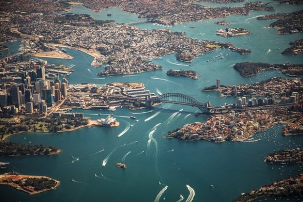
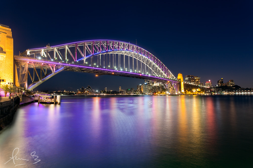
The familiar image of Sydney’s most iconic landmarks are testament to how much the city has developed in recent history. It’s hard to imagine the headland of Sydney Harbour without the distinctive white sails of the Sydney Opera House decorating the landscape, for example. However, architect Jørn Utzon’s masterpiece performing arts venue has only been there since 1973.
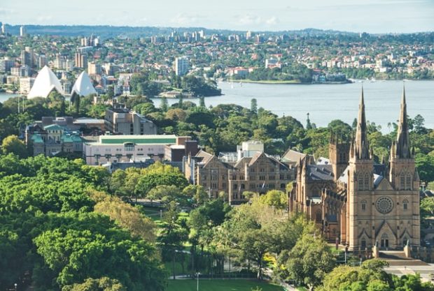
But the modern foundations of the Opera House are situated in a longer cultural legacy. As a hub of artist expression, it even predates its previous incarnation as a vaudeville theatre in the late 19th century. Before it was taken over by colonialists in 1788 as a corral for cattle and horses (and named Cattle Point, accordingly), this area was known as Tubowgule, or “where the knowledge meets water,” by the Gadigal people of the Eora Nation, as it was a perfect fishing ground to gather and eat, sing, and dance.
Revealing the hidden history of a well-loved location can give some useful perspective on how the landscape has been affected by the people who lived there before. It helps visitors to understand why Cattle Point was eventually renamed as Bennelong Point, in honour of the Eora senior Woollarawarre Bennelong, who endured great hardship as a liaison between the local population and Australia’s first British settlers. That’s one way to acknowledge the impact of colonialism on the map.
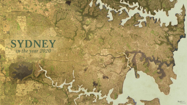
To explore how dramatically Sydney’s landscape has changed in the past 250 years, Budget Direct conducted a study into the key developments in buildings and infrastructure throughout Sydney’s history. Using sources such as NSW Office of Environment & Heritage and map collections from the National Library of Australia, they have produced an animated map illustrating how the shape of the city has changed since 1770.
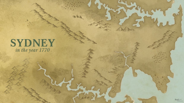
Here are some other key moments that altered the map of Sydney:
- 1770 – Captain James Cook’s expedition on HMS Endeavour sights Sydney and charts the Eastern coast of Australia, claiming Australia as British territory..
- 1788 – Sydney is founded as a British penal settlement after the arrival of the First Fleet, commanded by Captain Arthur Phillip.
- 1817 – The Bank of New South Wales opens in Macquarie Place.
- 1842 – Sydney becomes a city.
- 1850 – The University of Sydney is founded.
- 1852 – The discovery of gold prompts a population boom.
- 1888 – The Town Hall opens.
- 1932 – Sydney Harbour Bridge opens.
- 1973 – Sydney Opera House opens.
- 2000 – Sydney hosts the Olympic Games
With Sydney’s population set to expand up to 7 million by 2060, and it’s continued attraction as an iconic tourist destination, the map of Sydney will most likely look very different again in the near future!